

| Home | Parks | Maps | Bios | Stories | Links |
|---|
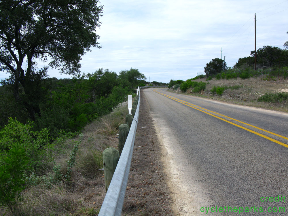
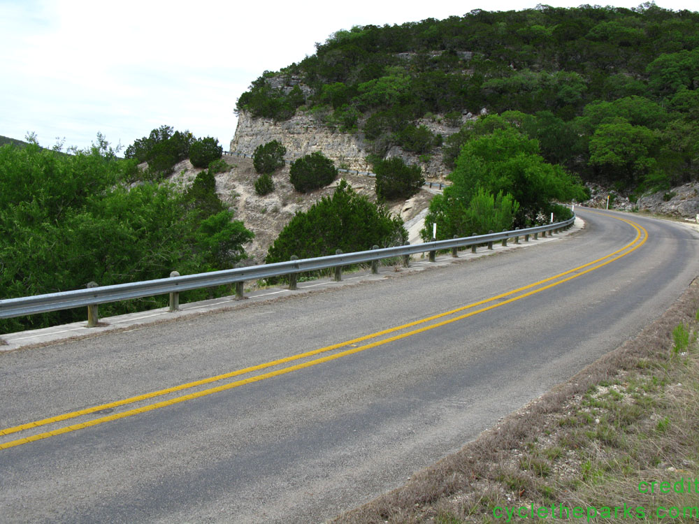
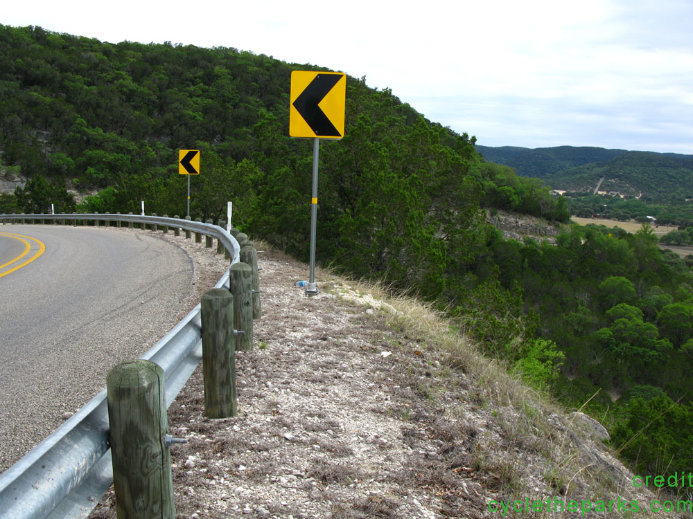
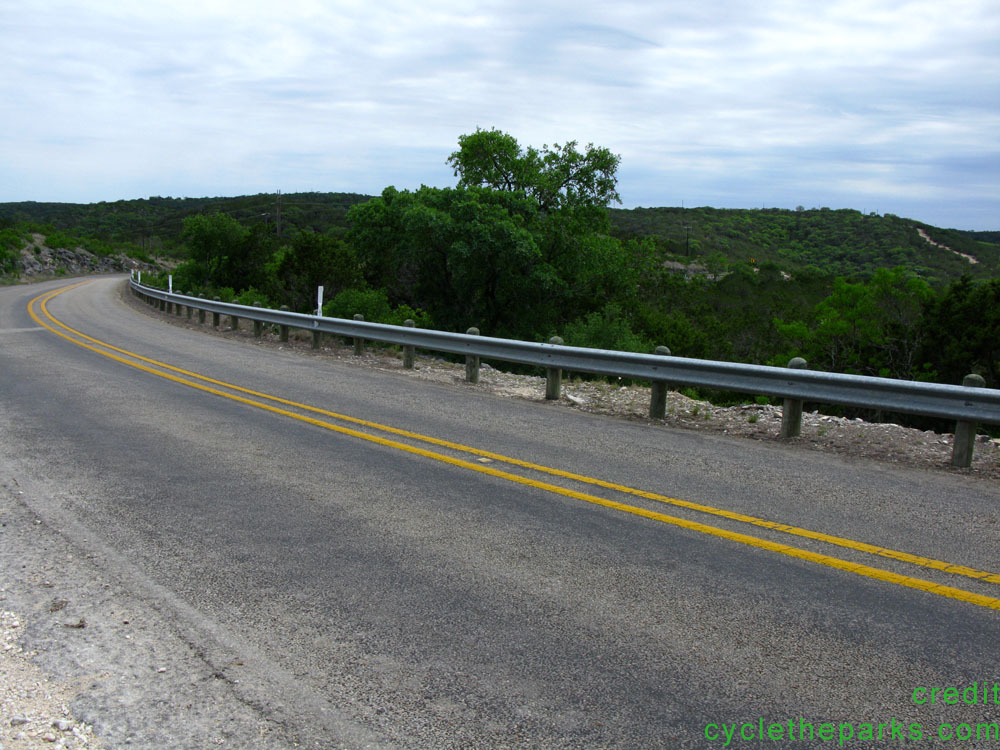
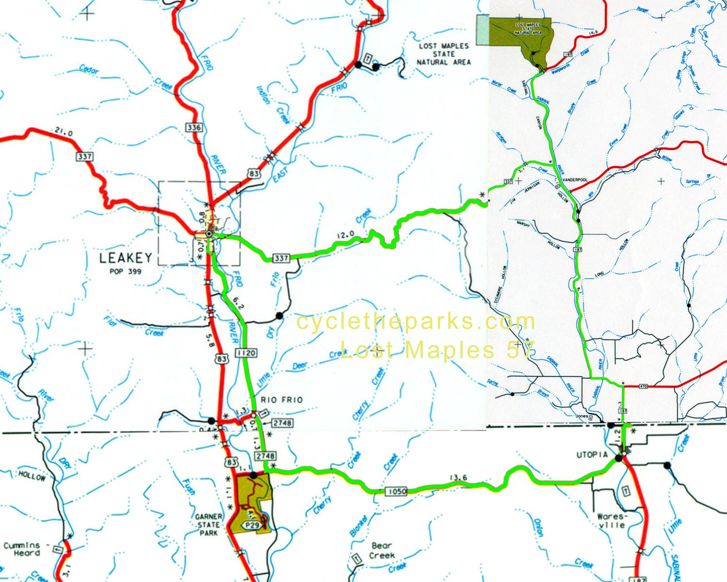
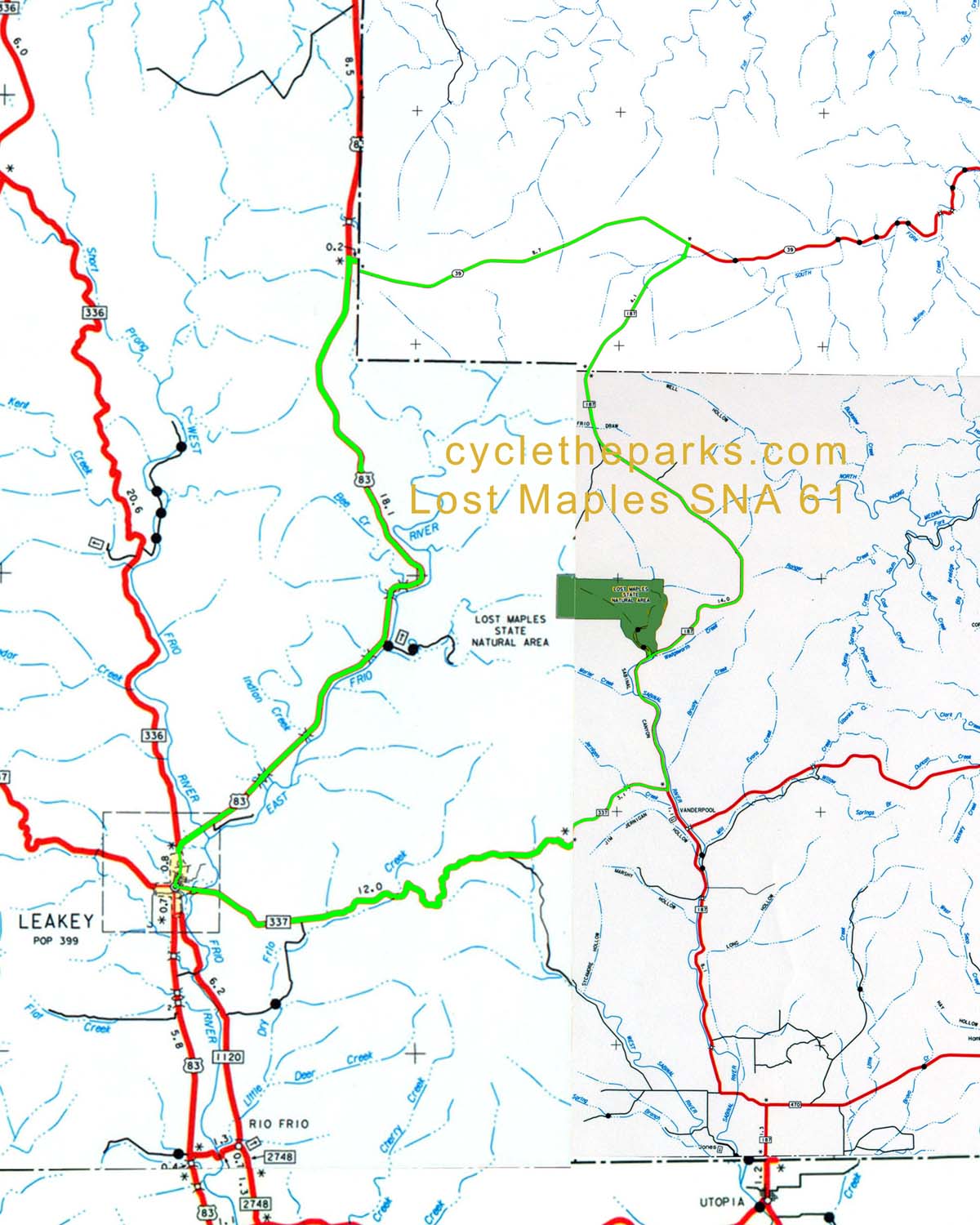
Lost Maples SNA is packed on fall weekends, to see the bigtooth maples change color. The park is located at the base of the Edwards plateau, with the 61 mile route climbing up to it. The park has few campsites, and they fill up most of the year. Plan ahead. Nearby is Garner SP
| Name | Phone number | City |
|---|---|---|
| Lost Maples SNA | 830 966 3413 | Vanderpool |
| Bandera county sheriff | 830 796 3771 | Bandera |
| Kerr county sheriff | 830 257 7904 | Kerrville |
| Real county sheriff | 830 232 5201 | Leakey |
| Uvalde county sheriff | 830 278 4101 | Uvalde |
| distance | Climbing | que Sheet | map | Garmin route | Google earth | Profile |
|---|---|---|---|---|---|---|
| 57 miles | 3211 feet | q-57 |
| route-57 | earth-57 |
|
| 61 miles | 3405 feet | q-61 |
| route-61 | earth-61 |
|
For Google earth, right click and select "save as" or "save link as", remember your saved location. Then open Google Earth, , select File - open, navigate/select the newly saved file.
For Garmin routes, right click and select "save as" or "save link as", remember your saved location. Follow your Garmin's instructions on saving and using routes.
routes inspected May 2011Lost Maples SNA weather