| Home | Parks | Maps | Bios | Stories | Links |
|---|
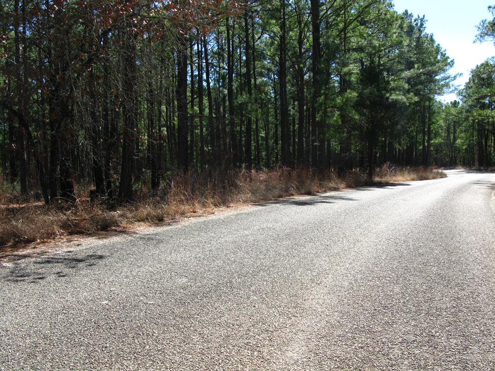
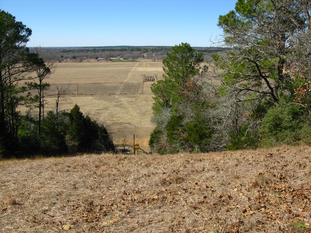
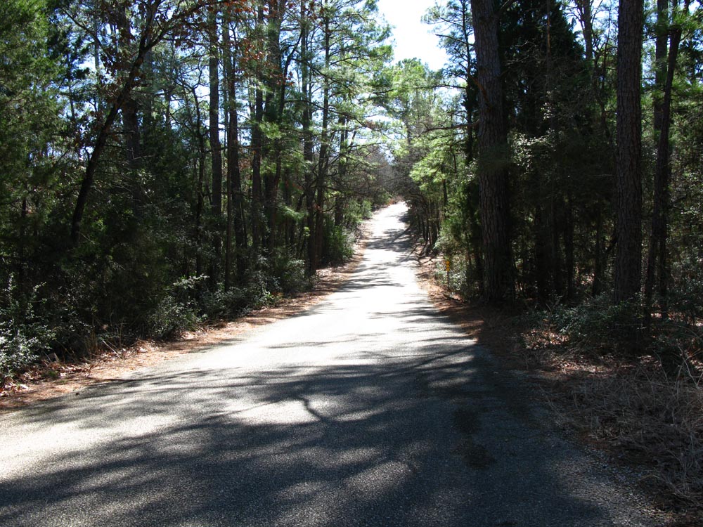
The two companion parks of Bastrop and Buescher are located on a pine tree island. Approach from any direction and you have the native oaks, pecans and cedar trees. Ranch lands and city surround these suprising parks. Upon entering either park, you are surrounded by tall pine trees in a slightly hilly terrian. These Lost Pines are thought to have had extensive coverage in Texas, and are now protected by the two parks.
Bastrop SP
has most amenities that you would want for a great weekend,
a golf course, swimming pool, cabins, hiking, camping, showers,
canoe rentals, and RV hookups.
| Name | Phone number | City |
|---|---|---|
| Bastrop SP | 512 321 2101 | Bastrop |
| Buescher SP | 512 237 2241 | Smithville |
| Bastrop county sheriff | 512 303 1080 | Bastrop |
| Fayette county sheriff | 979 968 5856 | LaGrange |
Buescher SP
is near Smithville, and offers cabins, fishing, hiking, camping, showers,
canoe rentals, and limited RV hookups.
Phone 512 237 2241
Location, 30 02 20.9 N, 97 09 29.66 W
View Larger Map
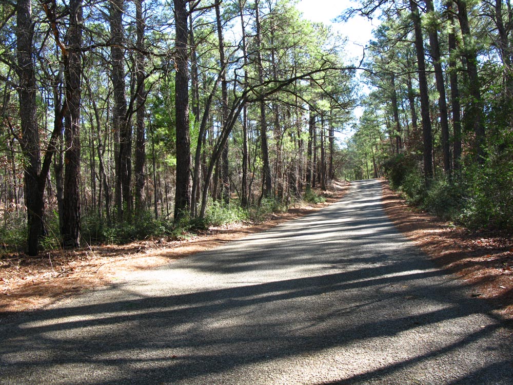
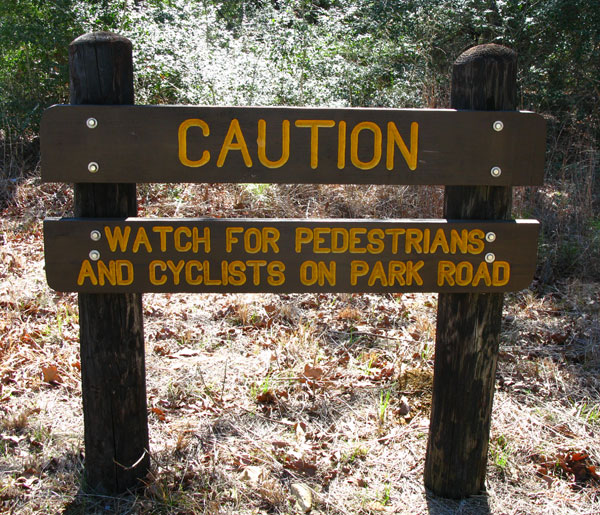
The numerous county roads in the area are inviting, but are a tease. A few miles down the pavement, they all become dirt. Most routes start from the Buescher SP HQ. Add the 24 mile round trip if you are starting from Bastrop SP.
| Distance | Climbing | que Sheet | map | Garmin route | Google earth | Profile |
|---|---|---|---|---|---|---|
| 23 miles | q-23 | map-23 | route-23 | earth-23 |
| |
| 36 miles | 898 feet | q-36 | map-36 | route-36 | earth-36 |
|
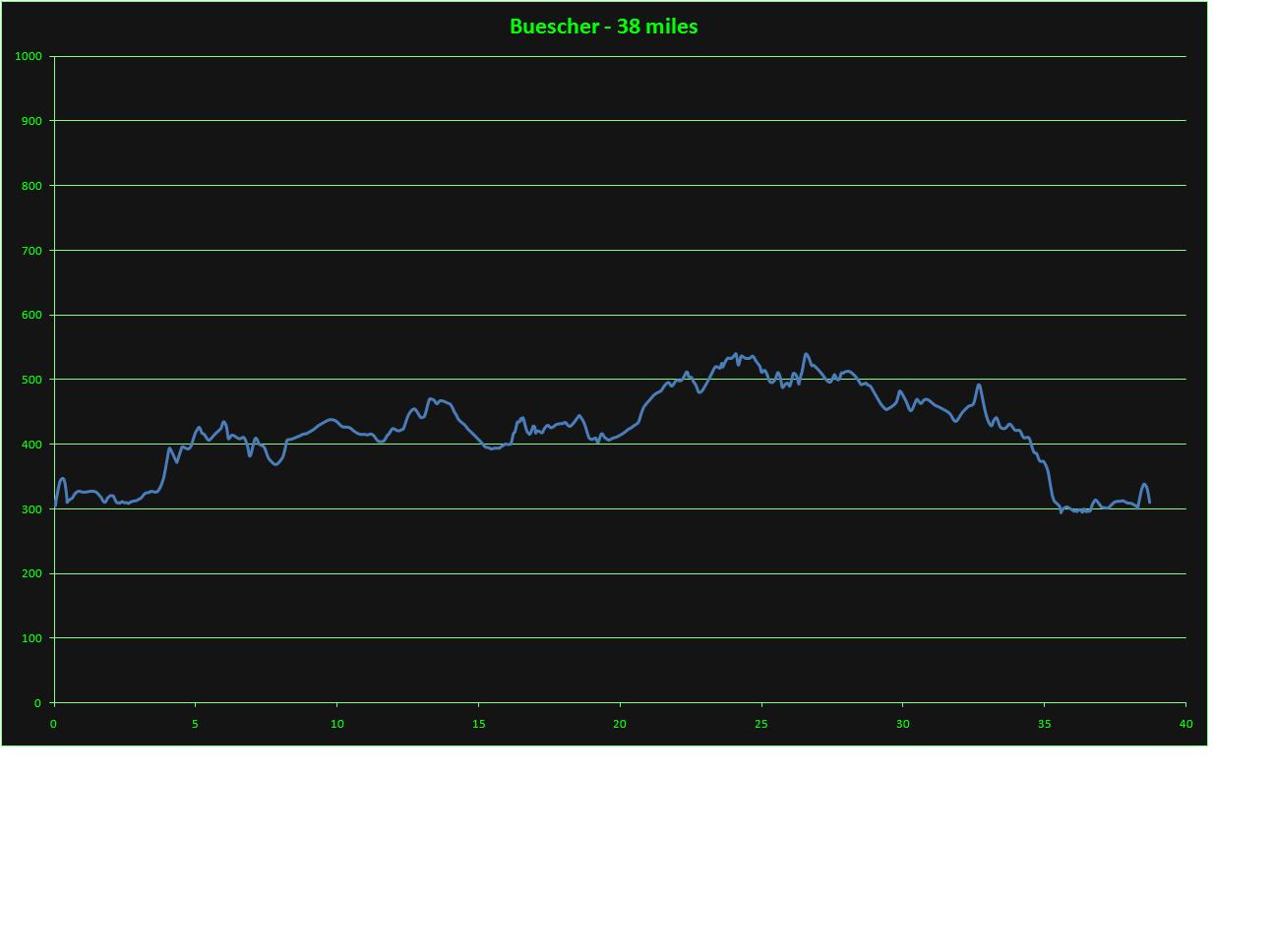
| 38 miles | 704 feet | q-38 | map-38 | route-38 | earth-38 |
|
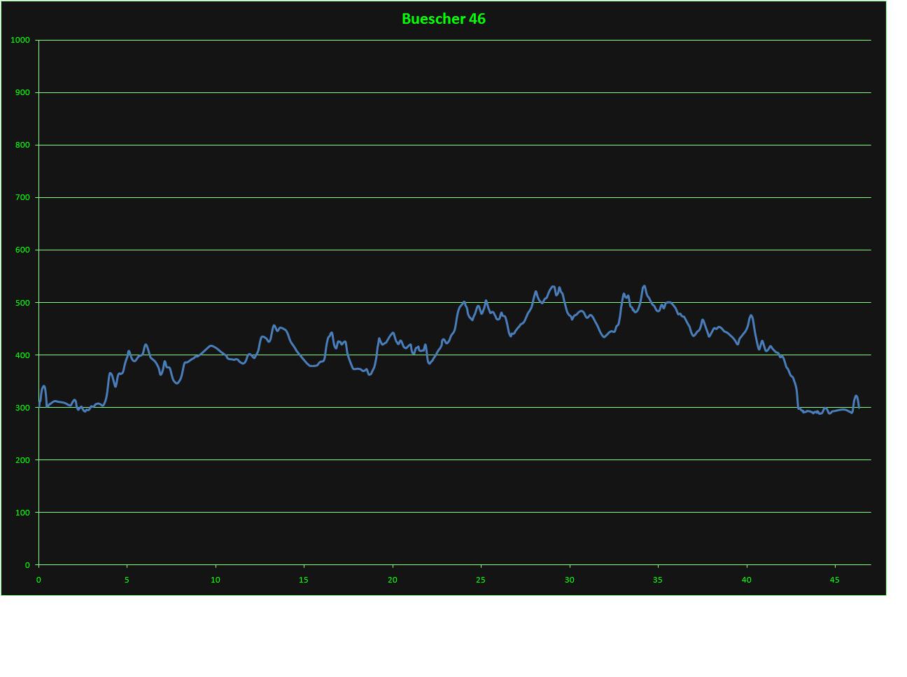
| 46 miles | 979 feet | q-46 | map-46 | route-46 | earth-46 |
|
For Google earth, right click and select "save as" or "save link as", remember your saved location. Then open Google Earth, , select File - open, navigate/select the newly saved file.
For Garmin routes, right click and select "save as" or "save link as", remember your saved location. Follow your Garmin's instructions on saving and using routes.